GeoTrace
 ▄▄ • ▄▄▄ .      ▄▄▄▄▄▄▄▄   ▄▄▄·  ▄▄· ▄▄▄ .
▐█ ▀ ▪▀▄.▀·▪     •██  ▀▄ █·▐█ ▀█ ▐█ ▌▪▀▄.▀·
▄█ ▀█▄▐▀▀▪▄ ▄█▀▄  ▐█.▪▐▀▀▄ ▄█▀▀█ ██ ▄▄▐▀▀▪▄
▐█▄▪▐█▐█▄▄▌▐█▌.▐▌ ▐█▌·▐█•█▌▐█ ▪▐▌▐███▌▐█▄▄▌
·▀▀▀▀  ▀▀▀  ▀█▄▀▪ ▀▀▀ .▀  ▀ ▀  ▀ ·▀▀▀  ▀▀▀
GeoTrace is a Python traceroute tool with geolocation.
Uses UDP packets with TTL (Time to live) values to trace the route to a destination address. Location data is pulled from ip-api.com, and (in progess) visualized on a map.
Usage
You can run the GeoTracer script to trace the route to a specified domain or IP address. For example:
python Trace.py
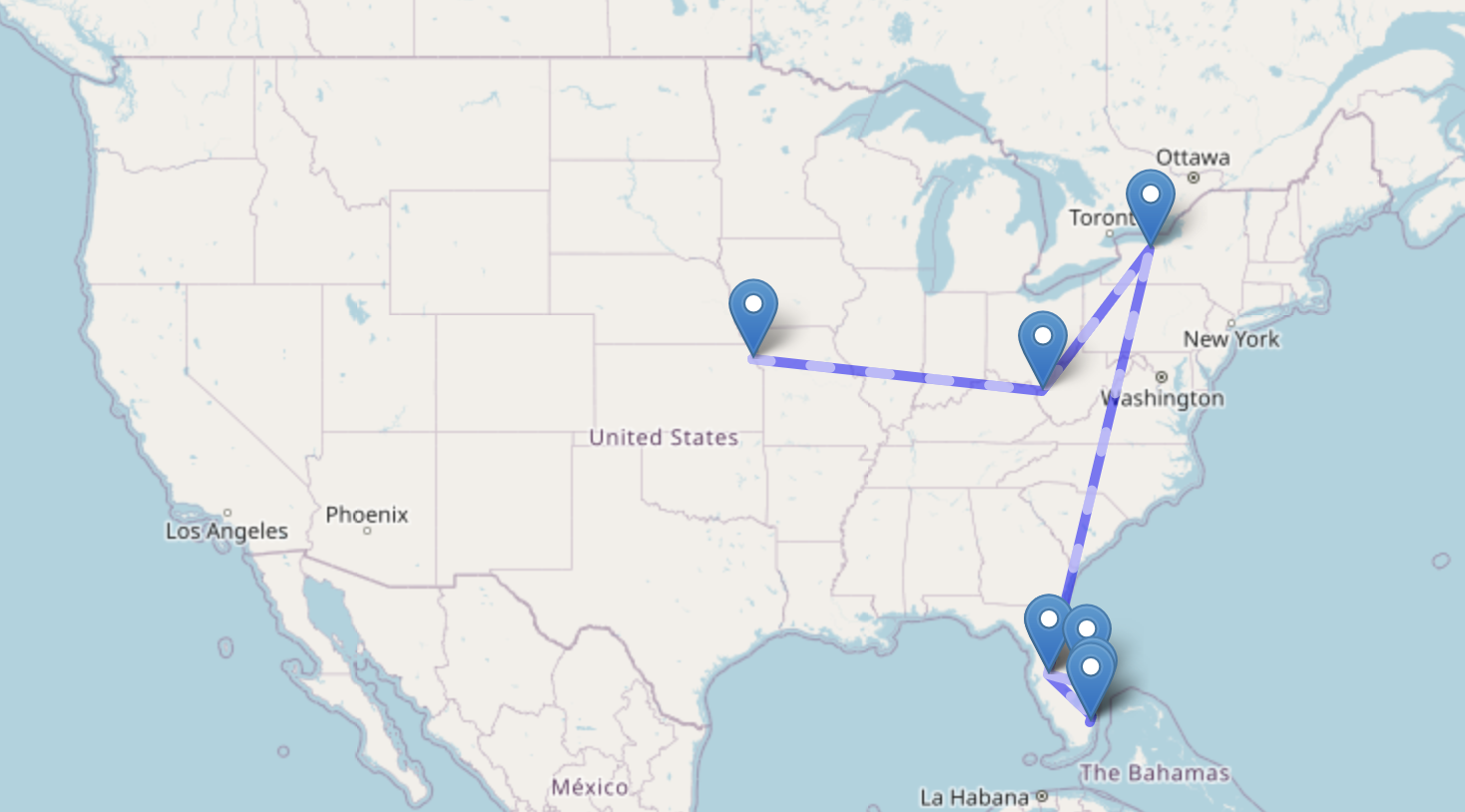
the user is prompted for the target URL via curses cli. Traceroute output is printed, and a folium map is saved as ‘traceMap.html’ with a ping at each hopped location.
Example Output
Tracing to 151.101.64.223
Hop #1: 192.168.1.1, City1, Region1, Country1
Hop #2: 10.0.0.1, City2, Region2, Country2
Hop #3: 203.0.113.1, City3, Region3, Country3
